AEC operations get spatial context thanks to ArcGIS GeoBIM by ESRI
Tweet
As of October 4, 2021, ArcGIS GeoBIM will be widely available. As part of the release of a new product, ESRI is enhancing the ability of BIM project teams to utilize GIS. In addition to integrating with ArcGIS GeoBIM, Autodesk BIM Collaborate Pro is a cloud-based software program that enables model coauthoring, collaboration, and coordination.
ArcGIS GeoBIM, ESRI?s new web-based product that links systems and workflows between GIS and BIM, has just been released. In the Design, Construction, and Operation of large AEC projects, ArcGIS GeoBIM provides a spatial context for BIM using Autodesk BIM Collaborate Pro. It is built on the Autodesk Construction Cloud and enables design collaboration, coordination, and model sharing.
Geospatial Context for AEC Professionals
GeoBIM from ArcGIS provides AEC teams with easy-to-use, innovative web-based tools that enable them to work together and explore data from multiple systems in a geospatial context. ArcGIS GeoBIM integrates with Autodesk BIM Collaborate Pro, built on the Autodesk Construction Cloud, which provides design collaboration, coordination, and model authoring.
The ArcGIS GeoBIM tool provides project leaders and stakeholders with an integrated view of asset locations, costs, issues, and risks throughout the life of the project, including in industries like infrastructure, construction, planning, and transportation.
AEC professionals have the flexibility to work together without silos, which provides them with the ability to meet the challenges of the future on an unprecedented scale.
Today's AEC professionals need a common view of assets within a geospatial context to collaborate on many global initiatives to improve construction, design, and planning practices.
Bringing Data & Information together from Various Platforms
Integrating Autodesk BIM Collaborate with ArcGIS GeoBIM allows AEC teams to track design issues, coordination issues, quality issues, safety issues, and commissioning issues.
The cloud-to-cloud connection between Autodesk and ESRI lets our common customers access BIM or GIS data with a unified experience. Planning, construction, and operations will be more efficient and more effective. As a result of our collaboration, the industry will be able to produce more sustainable and resilient infrastructure.
It's essential to give everyone on their team a single, authoritative access point to the truth that gathers data and information from a variety of sources. Their team can more easily make informed decisions by combi
Why you trust ESRI
Geographic information systems (GIS) company ESRI provides customers with mapping, location intelligence, and GIS software that unlock the full potential of data for improved business operations. Over 350,000 organizations worldwide use company software, including Fortune 500 companies, government agencies, nonprofits, and universities.
The firm was founded in 1969 in Redlands, California, USA. As a global company, ESRI has offices, distributors, and partners in more than 100 countries around the world. ESRI focuses on geospatial information technology to engineer the most innovative solutions for digital transformation, the Internet of Things, and advanced analytics.
Wrapping it Up
Climate change has increased global construction challenges, such as the availability of affordable housing. The government and commercial organizations will have to invest trillions of dollars in mitigation and recovery over the next decade. Architecture, engineering, and construction industries became more efficient in their construction, design, and operations by adopting building information modeling and geographic information system technology.
The use of GIS in BIM teams has been expanded with the release of ArcGIS GeoBIM from ESRI. A leading location intelligence provider and Autodesk have taken another step in their partnership.
To get online demonstration, watch the following video tutorial.
Video Source: ArcGIS
Ever since the two companies joined forces in 2017, they have consistently developed a new technology that incorporates the power of mapping into the BIM process.
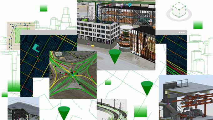
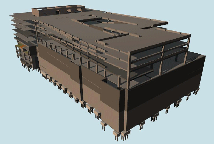
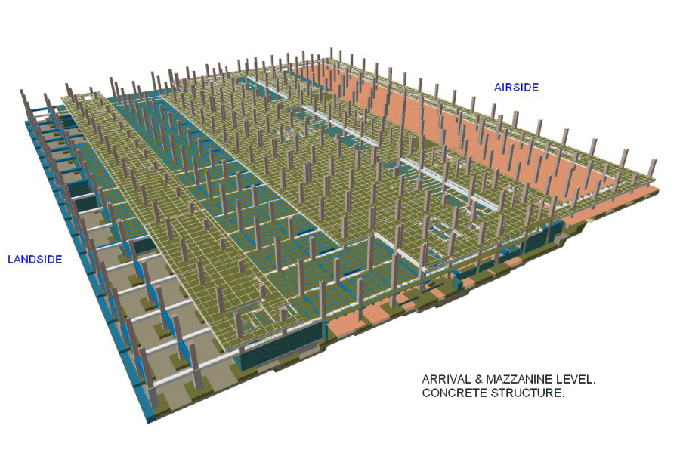
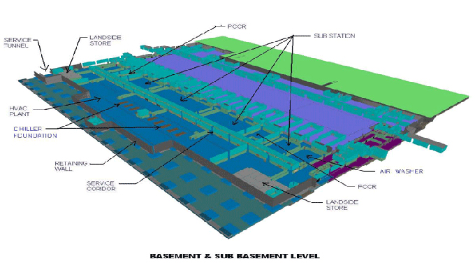
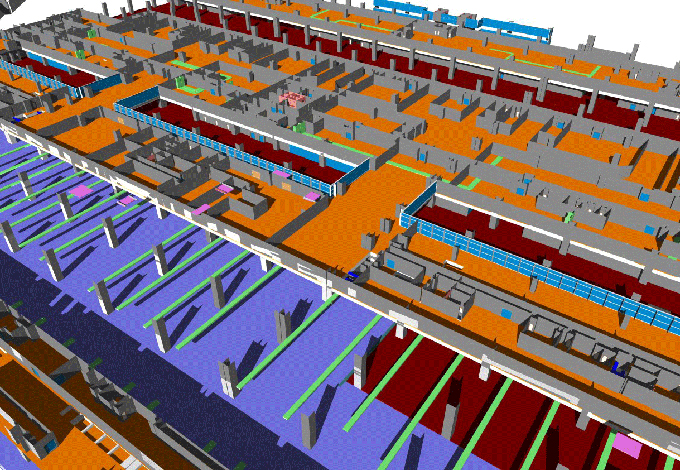
Image Courtesy: gim-international.com
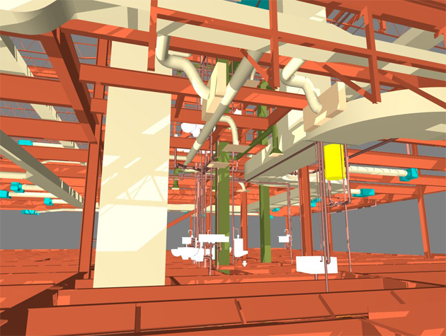
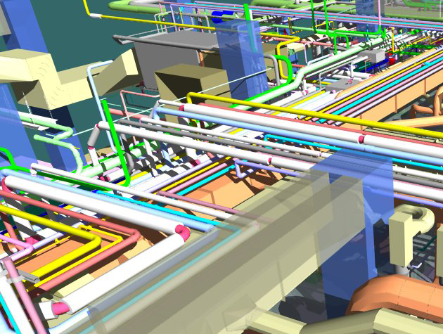
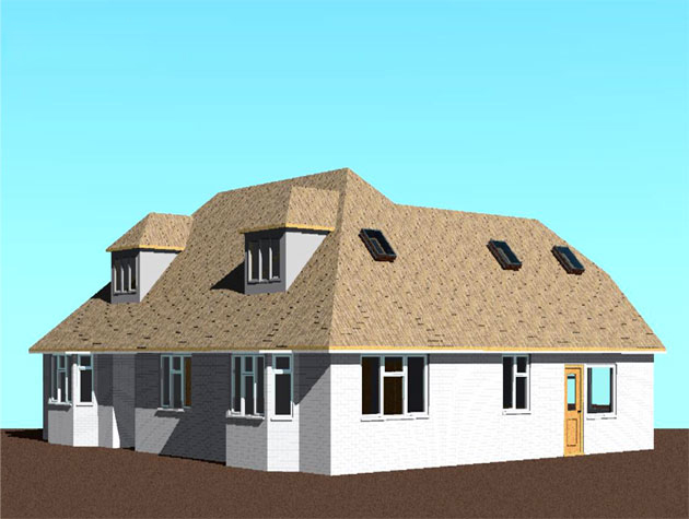
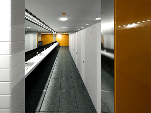
Gallery
Feel free to contact us for BIM requirements. One of our representative will respond you within 24 Hours. Send us your projects requirement today and grow your project.
Explore More !