Is Integration with BIM and GIS effects the Construction industries?
Tweet
A significant evolutionary step has been made in the construction industry with the integration of BIM and GIS, especially for the design and management of infrastructure projects.
In reality, it is feasible to achieve a more comprehensive and practical perspective for the administration of both public and private works by combining the strength of location intelligence with BIM procedures.
Together, let's learn what benefits BIM-GIS software offers the construction industry and how to handle the integration of BIM models with GIS thematic maps.
GIS (Geographic Information System)
Information regarding built and natural environmental assets, as well as other significant elements taking geography, demography, social economy, and environment into account, is provided by GIS.
This system uses maps to gather certain information like producing, integrating, managing, analyzing, and visualizing geographical data. Users can better comprehend patterns, spatial relationships, and geographic context thanks to it.
BIM (Building Information Modelling)
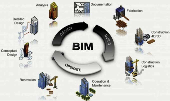
A 3D representation of the physical & functional qualities as well as the geometrical information of the linked assets is provided by BIM in an integrated database for the building and infrastructure assets.
It is a shared informational resource that fosters teamwork, document management, trade coordination, and 4D building sequencing. It supports decision-making throughout the course of a project.
BIM integrating with the GIS
The process of integrating the BIM and GIS results in a workflow that can exchange data from one system to another without additional information loss and can also query the available data within a single data structure.
A strategy focused on the importance of the data produces a more in-depth understanding of the work and the context of reference, both urban and natural. This leads to more informed decision-making, increased stakeholder involvement, and quicker and more efficient procedures.
With the help of this innovative methodology, GIS information systems provide information to the BIM model, which in turn feeds data to GIS information systems.
The digital twin standard, which is systemically used for infrastructures as well, enables the collection of the geometric model of the project, technical documentation, and GIS data pertaining to the area in which the infrastructure is situated in a single container.
The information in GIS maps can be used in a BIM process to enhance environmental resource optimization, energy conservation, security, and many other areas.
Benefits
Design and construction companies can collect a large amount of accurate and valuable data with the help of GIS and BIM integrations.
This will enable them to manage their projects and designs far more effectively and efficiently. So let us know more about its benefits to the construction sectors:-
1. Removing redundant data.
2. Put data at the center of workflows and remove silos to help architects, engineers, and GIS teams work more effectively together.
3. Saving money and cutting costs.
4. Whenever necessary, reusing and repurposing data to avoid the requirement to adapt it for use in different cont.
5. Increasing the effectiveness of the BIM process' geographical context.
6. Upgraded and better designs.
7. Data is smoothly transferred from one step of the design and construction process to another.
8. Utilizing cloud storage to enhance data management in any setting.
Application
Integration of BIM and GIS can be used for the following purposes:-
Management of facilities: Owing to utility failure or due to regular schedules, operations and maintenance work is necessary. The operation and maintenance team can use the ready-to-use information about the utilities provided by the BIM-GIS integrated model to identify the location, type, and material.
Easy access to utility information improves system efficiency, cuts down on delays, and lowers cost overruns.
To get online demonstration, watch the following video tutorial.
Video Source: Autodesk Infrastructure Solutions
Helps to visually represent the factors: Each component's geometric 3D depiction, which includes semantic and geometric information, is offered via the BIM-GIS platform.
Planning and carrying out projects are made easier by visualization. The GIS environment can be used to visualize the geographic landscapes, terrain details, nearby facilities, and ground and subsurface infrastructures.
Detection of collisions: The operation stages frequently involve remodeling and repair work. The utility information is typically either not available or only available in 2D CAD designs. It is quite challenging to determine the precise utility information from 2D designs that could lead to a potential utility conflict.
Many BIM systems, like Civil 3D and Navisworks, and GIS applications, including a number of websites, offer features for collision identification between the 3D utility model in this BIM-GIS integrated platform. The information provided by the 3D model is helpful in guiding subsequent activities.
Conclusion
The environment and cleanup industries will profit greatly from the adoption of 3D BIM processes and GIS technologies. It will pave the way for broader stakeholder involvement, higher-caliber design, and data-driven decision-making.
BIM and GIS integration allowed for more comprehensive and integrated workflows in the AEC sectors, which helped to lower costs and fulfill rising demand.
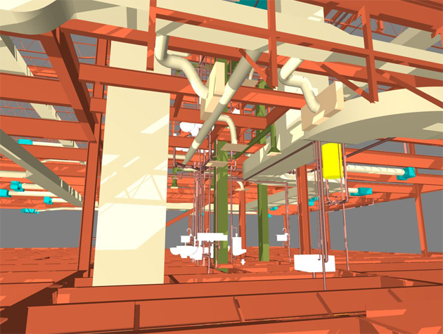
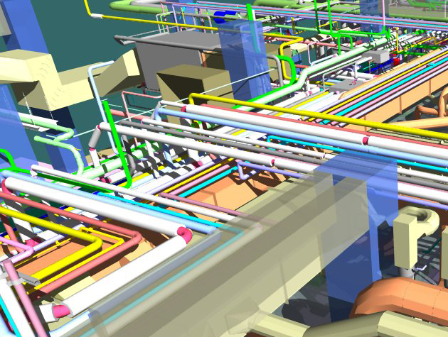
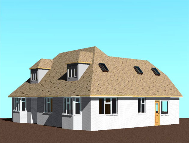
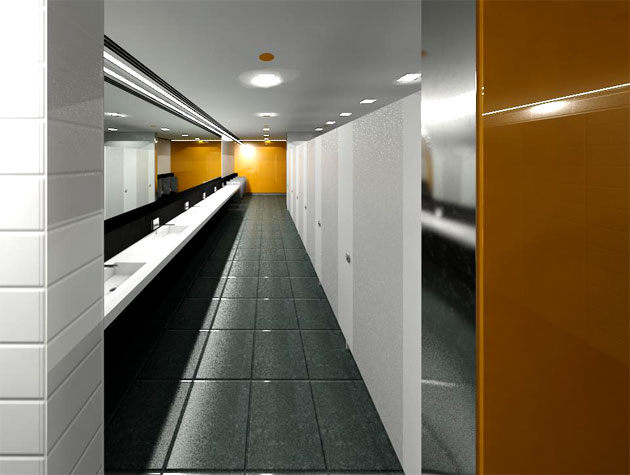
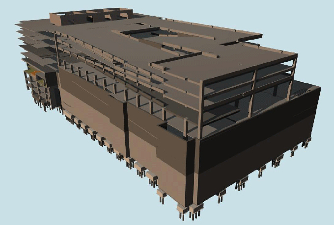
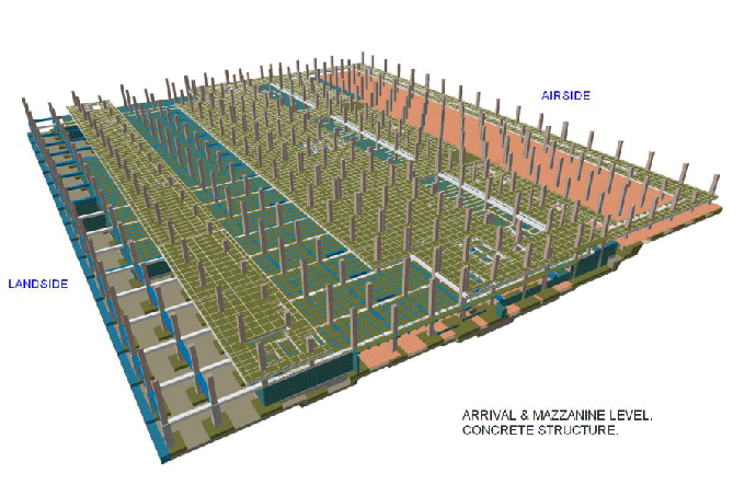
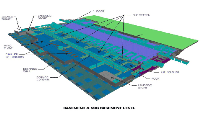
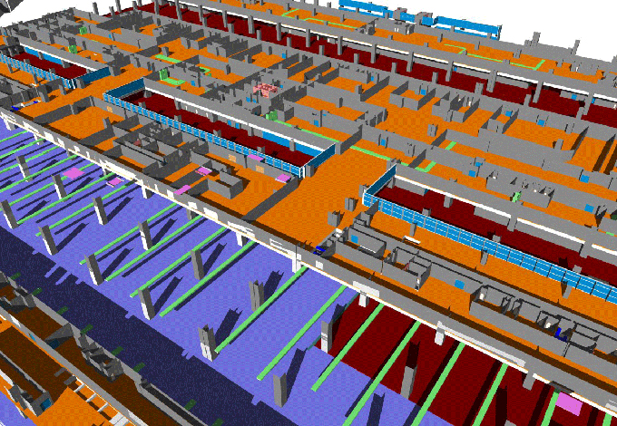
Gallery
Feel free to contact us for BIM requirements. One of our representative will respond you within 24 Hours. Send us your projects requirement today and grow your project.
Explore More !