NavVis introduced new indoor mobile mapping system for BIM professionals
Tweet
NavVis, a trusted name in mobile indoor mapping, visualization, and navigation, just introduced M6, the avant-garde indoor mobile mapping system that can efficiently deal with the scalability and data quality constraints of today's reality capture technology.
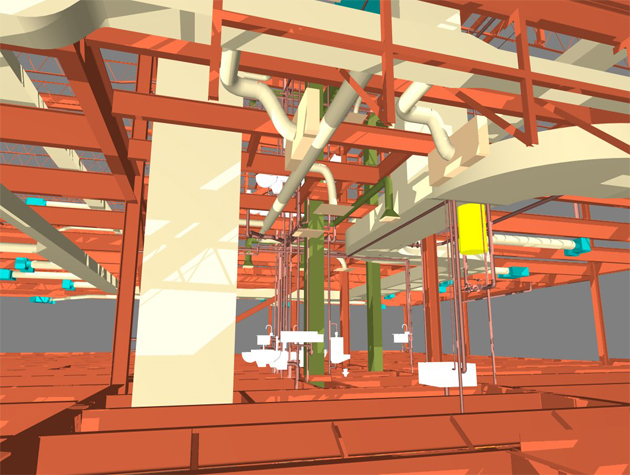
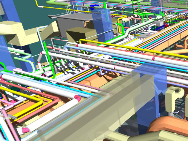
The reality capture technology is very useful for surveyors and AEC professionals to perform various activities like large-scale indoor mapping projects, factory planning, creating and updating as-built BIM models and construction monitoring.
The NavVis M6 is an all-inclusive system that has the ability to catch 360-degree immersive imagery, photorealistic point clouds, Bluetooth beacons, WIFI signals and magnetic field data. The NavVis M6 is supported with a mobile LiDAR system facilitates to scan up to 30 times swifter as compared to the stationary devices and the users get the ability to catch up to 30,000 square meters in a day. With the revolutionary 6D simultaneous localization and mapping (SLAM) technology, it becomes possible to improve the quality of data captured. 6D SLAM, M6 can endlessly scans even the most complicated indoor environments along with uneven surfaces or changing elevations, like ramps, open spaces or long corridors retaining the quality of the data unchanged.
M6's innovative software is supported with exclusive hardware features which are specifically designed to enhance the quality of data and simplify the capture: four laser scanners containing a range of up to 100 meters are set up to make the most of scan coverage, whereas six cameras automatically capture high-resolution images throughout mappings. The innovative design of the M6 contains camera placement that retains the operator in a blind spot.
It is the most suitable gadget for surveyors and AEC professionals to capture large properties to update or generate floor plans or as-built BIM models. Simultaneously, NavVis IndoorViewer software offers added value by providing each stakeholder to avail the scanned environment through an interactive virtual building in their browser.
For more information, go through the following link www.navvis.com

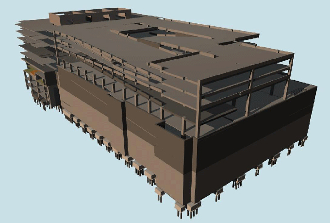
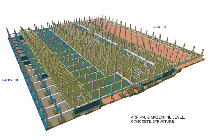
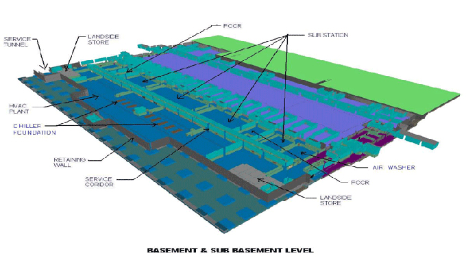
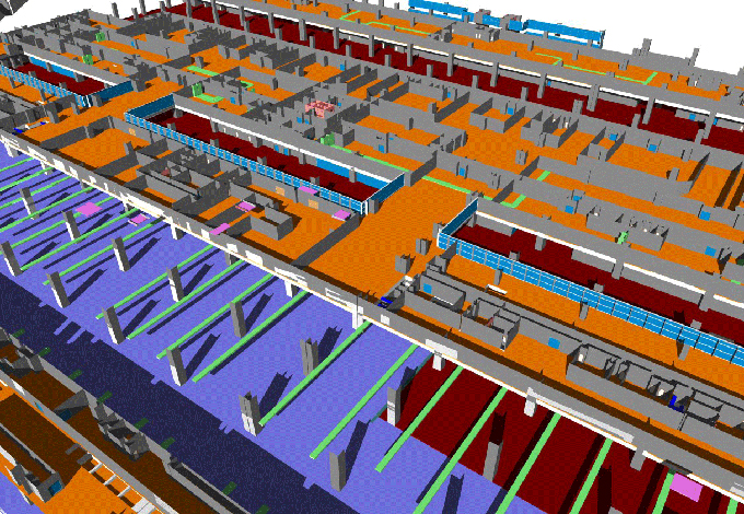
Gallery
Feel free to contact us for BIM requirements. One of our representative will respond you within 24 Hours. Send us your projects requirement today and grow your project.
Explore More !