The Integration of Building Information Modeling data & City Models using Geo-BIM
Tweet
Building Information Modeling data integrates into 3D city models using commercial and open-source tools. Integration between Industry Foundation Classes (IFC) and City-GML requires converting information between different models. It is also challenging to transform geometries from solid models. BIMs use for solid representations, while city models use for boundary representations.
Increasing numbers of cities use 3D city models for urban planning visualization and simulation. Often, the models include planned buildings as well. The 3D city model of the city can populate with BIM models of planned buildings.
What is Geo-BIM?
In 2019, a Geo-BIM benchmark examined interoperability in the Geo-BIM domain, which allowed Building Information Modeling to integrate with city models. City-GML and IFC tools evaluate tools for converting data. Four datasets evaluated ETL scripts and several software tools. IFC files are modeled differently, inconsistently, as can be seen by the elements. It may be challenging to develop generic programs that can convert IFC data into City-GML models because of this. As a result, IFC elements of the benchmark were translated into generic City-GML objects, inspected, and modified in practice.
The architecture, engineering, and construction (AEC) domain must reach a consensus on standards and guidelines concerning how IFC models should be modeled. Several countries have already undertaken such work. Standardization of city models is also necessary. As a concept document, City-GML 3.0 is slated for approval in September 2021. Interoperability with IFC improved through the implementation of some concepts.
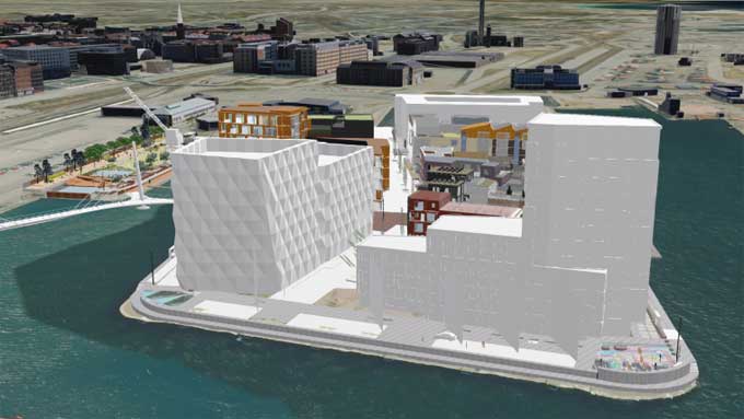
Workflow of Geo-BIM
Extraction of Building Geometries from BIM data for 3D city Modeling
The use of Building Information Modeling can replace on-site surveys in updating 3D city models. A geometrical analysis of this process led to the development of new measuring guidelines for the building theme in 3D city models.
Separate elements should model as separate buildings when they differ by more than 2m2 on a side or 2m in height.
Building geometric information extracts using the measuring guidelines. Two people simultaneously extracted geometric information. Building models create using airborne laser scanning (ALS) point clouds and 2D footprints of buildings. ALS methods and ETL tools created the geometric models from these data. Using BIM as input to other ETL processes, the second person generated the models.
The Query Level Request for Building Information Modeling Data
Building Information Modeling data was converted to City-GML and integrated into the three-dimensional model of the city. Alternatively, building information modeling and city model data could store in separate repositories with a common query interface. That would allow applications to utilize both data sources. Integrating the 3D city models and BIM data on the query level requires linking their information models.
The two data sources could create a knowledge graph, which aligns the respective ontologies. Data silos are breaking down through the use of knowledge graphs in a variety of domains.
Due to the difficulty of incorporating geometry into knowledge graphs, Geo-BIM uses them sparingly. There is work underway to develop ontologies for 3D city models based on the City-GML data schema and ontologies in the BIM domain, such as BOT.
Final Thoughts
An interface for querying knowledge graphs on the web remains a challenge before its use in production. As a result, you must develop ontologies further and ensure that they are interoperable and aligned. Building-SMART and OGC are collaborating on this as part of their ongoing geospatial cooperation.
To get online demonstration, watch the following video tutorial.
Video Source: Terrasolid
The process of setting up common IDs and handling them throughout their life cycle presents a coordination challenge. However, the problem of developing efficient RDF stores for storing and querying 3D geometry poses a technical challenge.
Furthermore, useful programs should support knowledge graph data from an end-user perspective, ideally implementing a SPARQL interface. Although knowledge graphs present challenges in Geo-BIM, they have great potential.
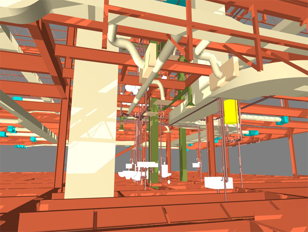
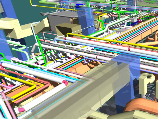
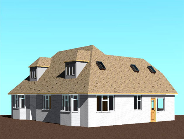
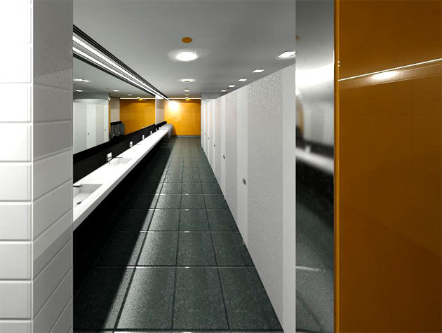
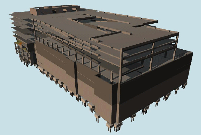
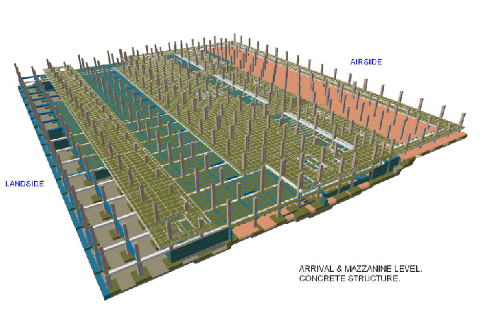
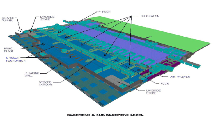
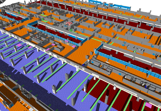
Gallery
Feel free to contact us for BIM requirements. One of our representative will respond you within 24 Hours. Send us your projects requirement today and grow your project.
Explore More !