Why Should You Use Mobile Mapping for BIM
That the mobile mapping is arguably a better choice than the traditional TLS (terrestrial laser scanner) systems, is already a given in the mapping and scanning sector in the construction industry. Still, many vendors today hesitate to provide mobile mapping solutions for BIM, which they absolutely need not. Today, we will discuss why should we use mobile mapping for BIM.
It is true, there are still a lot of second guessing going on about the quality of data the mobile mapping systems for BIM can provide. Also, there is the issue of transitioning from the traditional TLS to CAD or to BIM system to a modified mobile to BIM framework.
Thereby, most survey and scanning professionals wonder, would they lose valuable work-time downstream preparing the BIM deliverables? Today, we will discuss this issue.
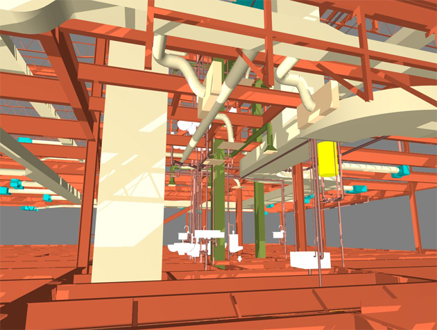
3D Modelling of As-built Conditions in BIM
The demand for BIM is growing fast even though 2D CAD is still mainstream. This is especially true for large governmental public or military projects. Large corporations as well are demanding BIM model deliveries as a part of their project plan.
BIM is great for building a BIM model from a point cloud, but this requires some preparation. Before you start building a BIM model from a point cloud, you have to clean up the point cloud data first. This involves removing irrelevant points, such as plants or trees, parts of other buildings, non-building objects in the way etc. This is called 'noise' in the data. Next you have to import the clean data into a good BIM software that you find most useful.
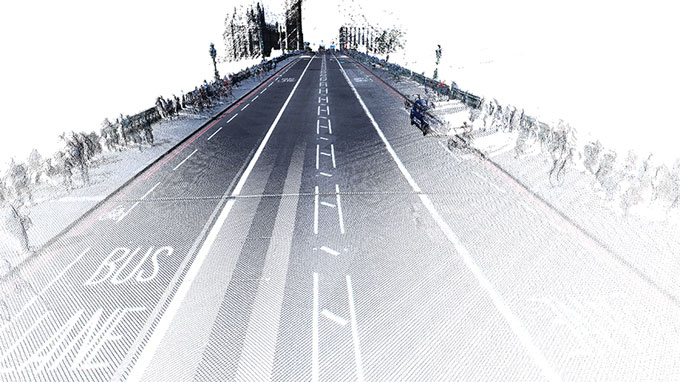
The mobile mapping technology trumps the traditional TLS systems in this matter with their accuracy in data and low noise output. When you have more or less clean data on hand, the tedious process of denoising the point cloud data becomes really easy and quick. Wo wouldn't want this?
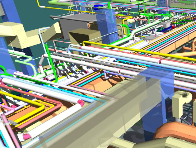
In addition to above, mobile mapping system such as NavVis provides highly accurate, reliable data through realistic coloring and high resolution, that results in outstanding fine details. In this manner at least, you don't have a better starting choice for an efficient BIM modelling process.
Even more useful are the indoor viewer plugins for Revit or similar BIM software that these mobile mappers sometimes provide. With this, from within the model you can directly jump to the real-life imagery of a particular point of the structure in just one click. This helps the designer immensely in identifying and detailing the finer points of an as-built conditions in BIM, rather than relying just on the point cloud data which is vague at best at this level of zoom.
Visualization and Simulation using Mobile Mapping Point Clouds
In system structures where there are lots of produce processing necessary (like in chemical or oil plants), or in offshore buildings, it becomes necessary to represent the as-built status of the facility using point clouds. When something needs to be changed in these structures, like a part of the structure, a machine or equipment etc., this becomes very useful.
In this situation, where the equipment or part is removed, the point cloud is removed and the new part is designed using BIM. This hybrid method is much faster than traditional remodeling work, but it does require visual references for clash detection and interference checks.
This is where a mobile mapping system comes very handy. Systems such as NavVis point cloud data are particularly well suitable for these applications because of their integrated visual referencing options mentioned above, the high-res color fine-grain details, and the adaptability with BIM.
Large industrial spaces are the playground of mobile scanning platforms, and they produce point cloud that are nearly noiseless, highly realistic, with textures and coloring close to original. What's more, chunks of the point cloud can be downloaded and synced with production planning software like Dassault Delmia.
Data compatibility and applicability
The mobile mapping systems available already on the market are nothing if not compatible. Supporting all popular open industry formats, like the E57 point cloud format, you can plug in software like NavVis with pretty much any kind of BIM solution on the market.
Panoramic views of every point with realistic textures and colors are the salient points of mobile mapping systems for BIM. They can attach this into any prominent BIM environment and give you unbeatable visual control between the model and the real space.
Mobile mapping solutions often collaborate with big players in BIM market like PointCab and ClearEdge3D for object extraction and vectorization. They seamlessly fit into popular BIM solutions like Autodesk Revit for easy drafting and modeling.
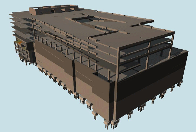
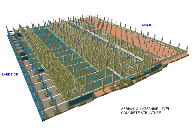
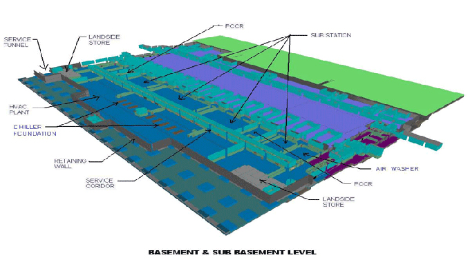
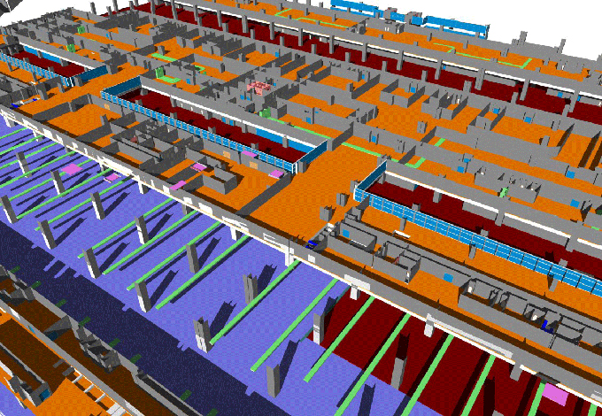
Gallery
Feel free to contact us for BIM requirements. One of our representative will respond you within 24 Hours. Send us your projects requirement today and grow your project.
Explore More !